
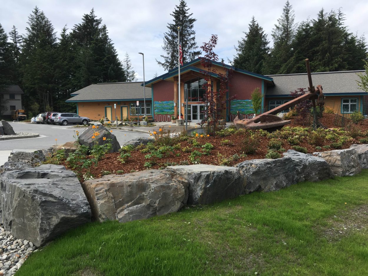
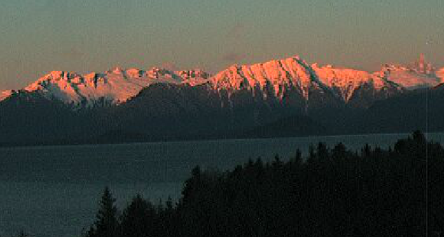
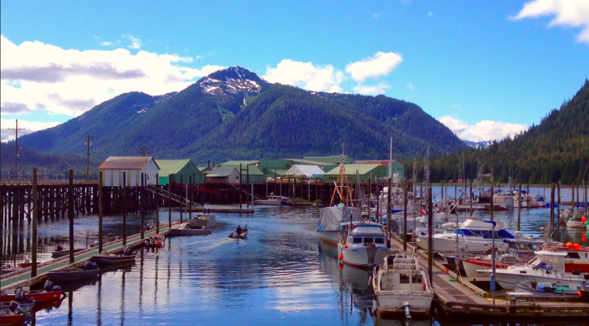
It’s been a rainy, cool summer so far in Petersburg and the rest of Southeast Alaska. This past weekend and late last week provided a much needed relief from the clouds. People in Petersburg came out in droves to soak up the sun.
To relive the days of warm weather, check out this video.
Weather from ALexis Kenyon on Vimeo.
According to the National Weather Service, in the coming weeks the days of sunshine may be few and far between for Petersburg.
Brian Bezeneck Lead meteorologist at the NOAA weather office in Juneau said the cause is a ridge of high pressure sitting over the Lower 48 states. Ridges of high pressure are air masses with less moisture and more heat. Bezeneck says that high pressure ridge means a low pressure air mass, or a trough, here in South East.
“Because of the ridge location t here, we end up with the low here. That’s why we’ve had persistent cooler temperatures and cloudier conditions along with the precipitation. Southeast is experiencing the same patterns. We have been wetter than normal. Low temperatures have been about the same and the high temperatures have been a handful of degrees below normal– making it a cool and wet summer,” Bezeneck said.
In Petersburg, May was the fourth wettest on record with 10 point nine inches of rain. That’s still two inches below the record May rainfall set back in 1992. This June, Petersburg saw a six and a half inches of rain – an inch and a half above normal. Not surprisingly, so far, July has been wetter and cooler than normal too.
“I am not seeing a nice break in the weather pattern. There might be a few days where the clouds break and we get some sun. But I am not seeing an extended period of sunshine. We haven’t had the right weather pattern to give us a nice blocking ridge out over the Eastern portion of the gulf – which keeps Southeast Alaska out of precipitation pattern,” Bezeneck said.
Bezeneck says with the forecast now, it looks like residents in Petersburg should take advantage of the sunshine while it lasts.


