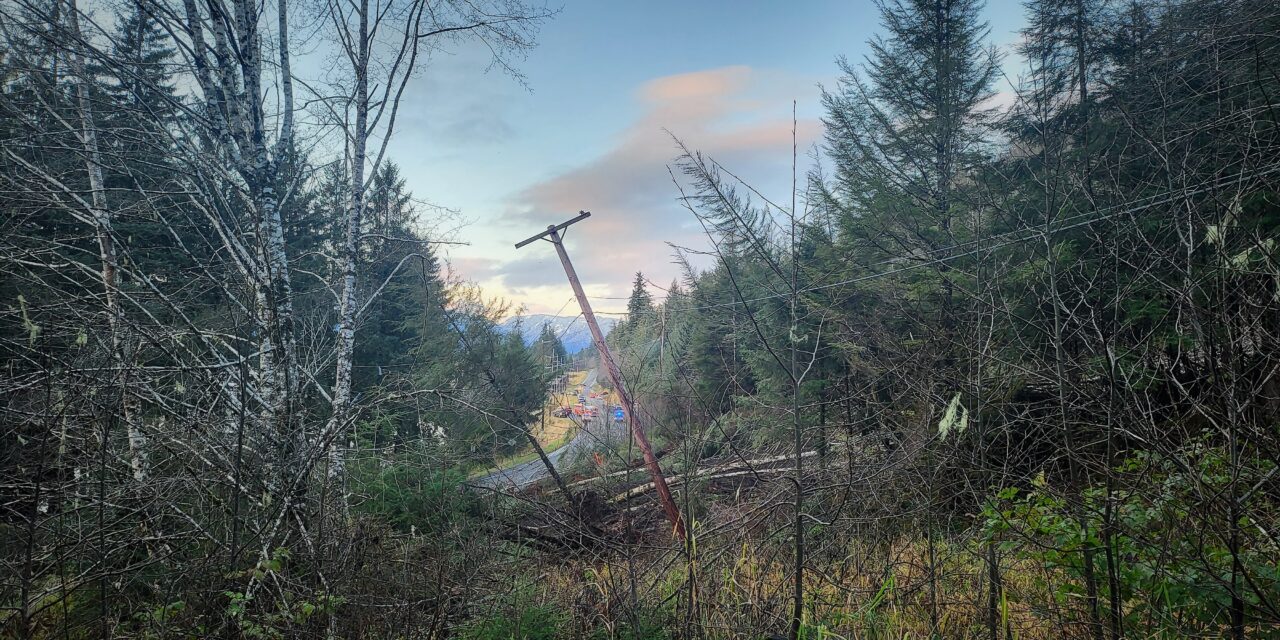
The nonprofit Sitka Sound Science Center has been working on a project to help Petersburg locals better evaluate landslide risks in their area.
Last year, lead geoscientist Nick Mathews started a landslide mapping project funded by a grant from Alaska Sea Grant to show which areas on Mitkof Island are more susceptible to landslides.
“I’ll just start by saying, as you all know, Southeast Alaska is a very landslide-y place,” Mathews said in his presentation to Petersburg’s Borough Assembly on Nov. 2.
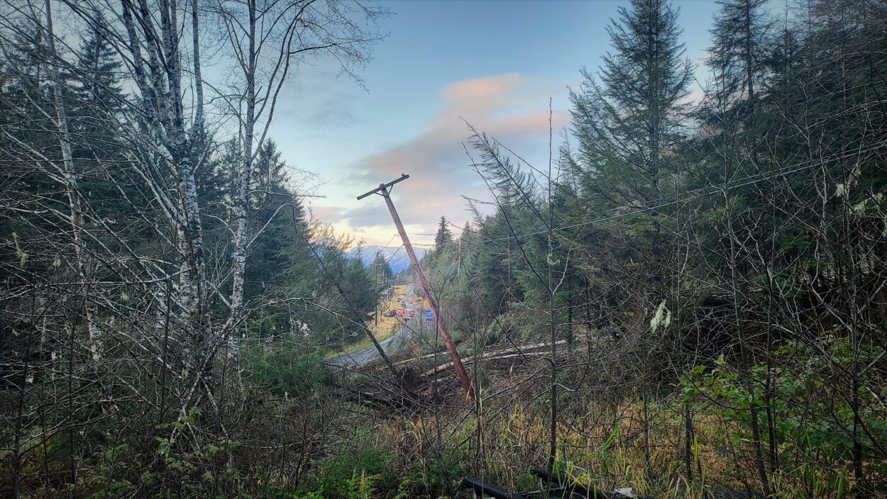
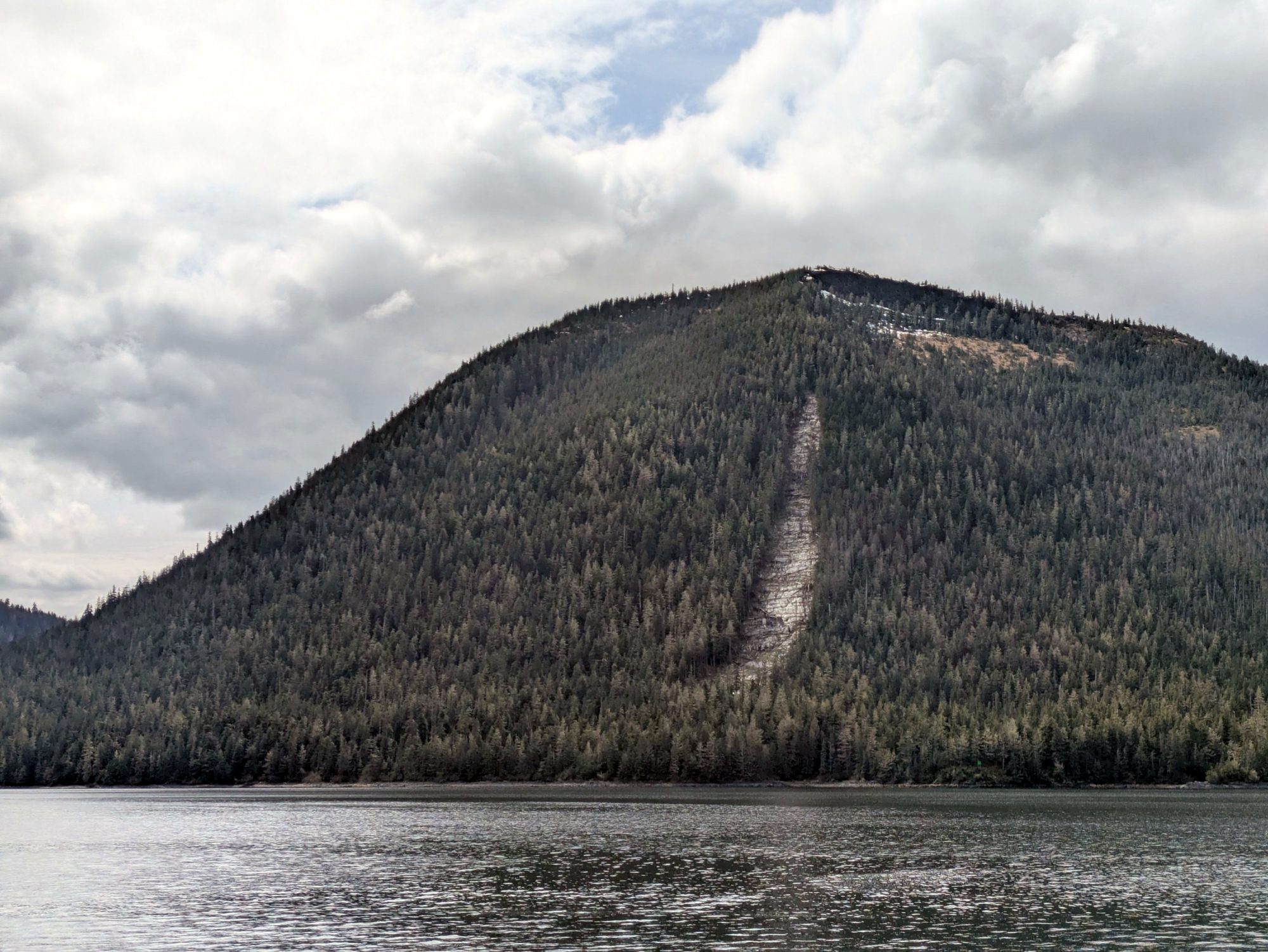
This type of research is of high interest in Southeast Alaska, where landslides happen regularly. In the last decade, multiple deadly landslides have occurred in the region. They can also damage infrastructure: in 2022, a Petersburg landslide took out power and telephone lines. This year, the state issued a disaster declaration after a Kechikan landslide severely damaged an electric substation.
Landslide susceptibility maps aren’t new; other groups have been creating these kinds of maps for communities across the state. Mathews is using his own approach to build maps for a handful of communities, including parts of Kupreanof Island and Prince of Wales Island. That includes areas around the City of Kupreanof, Craig, Kasaan, and Klawock.
During his Petersburg presentation, Mathews pointed to a map by the U.S. Geological Survey, which evaluates landslide risk based on how steep slopes are. That map is meant to represent the entire U.S., so it has to be quite broad. On that map, a large part of Mitkof is red, meaning any area on a slope is at risk for landslides.

Mathews said those maps serve their own purpose, but his are meant to provide more detail to specific areas.
“What its purpose really was, is to say, okay, how do we take this and how do we scale it down to really capture where on those steep hill slopes we should worry about?” he said. “So that we can start to say things like which houses are really at risk? Which buildings? Which sections of the road are at risk? Instead of just painting the whole place red.”
In an interview with KFSK, he said he built his maps using digital models. Those models factored in multiple variables – how steep slopes are, where loose soil tended to collect, and areas that would be impacted by heavy rainfall.
“So, when you combine those three ingredients, we can kind of say, all right, this is where a landslide is most likely to start,” he said.
With that information, Mathews can predict landslide starting points, and how far they’ll likely go, known as the runout. The maps also show where landslides have previously occurred.
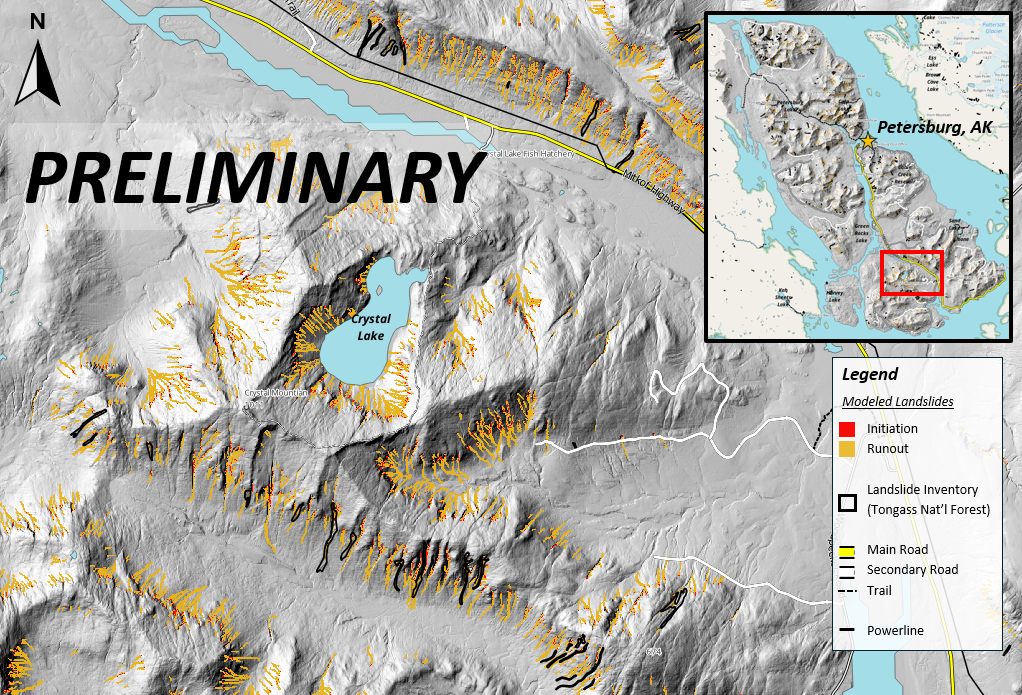
In his presentation, Mathews showed a few areas of interest where he was able to model where landslides may occur, and what paths they might take.
That included sections along the Mitkof Highway — some areas near homes and some that are not. Also, areas out of town like Crystal Lake, the City Creek Reservoir, and the Cabin Creek Reservoir.
Mathews said this information will be useful to a wide audience in Petersburg. That includes everyone from public utilities to homeowners to people who like to get outside.
“It’s useful to know if your home, or your property, or the places that you frequent, or the places that you recreate, or the roadways that you travel through — what locations carry the highest landslide susceptibility,” Mathews said.
Those maps can then be used in tandem with other resources that help assess risk, like National Weather Service alerts when heavy rain is coming.
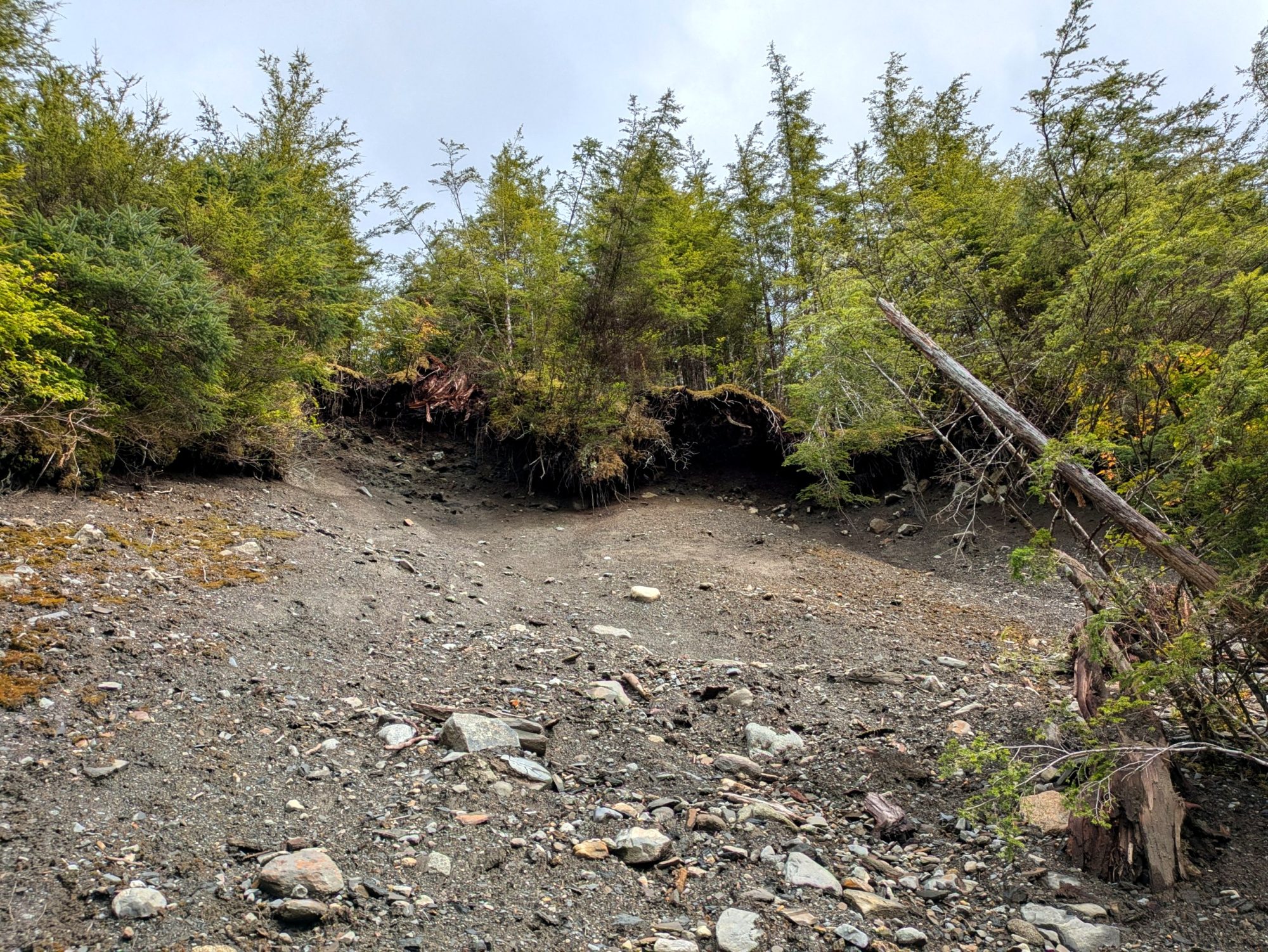
But, it’s also important to note that these maps are just predictions. And, those landslides may not happen anytime soon.
“Keep in mind, we’re talking geologic time here,” Mathews said. “So we’re saying in the next maybe 5,000 years, maybe all these could happen. Maybe some of them could happen.”
Right now, Mathews has made a first version of the maps. He’s submitted those to a scientific journal for review, and he’s working on an updated second version. He’s planning to make that second version available to the public in a PDF version sometime in the future.
You can watch Mathews’ full presentation to the Petersburg Borough Assembly here.