
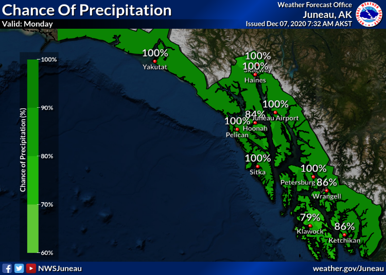
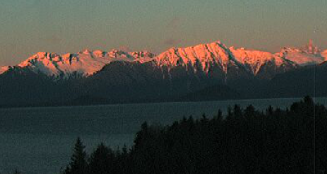
More wet weather is in the cards across Southeast Alaska this week as the region struggles with record rainfall that brought destructive landslides and some flooding.
The National Weather Service said on Monday that the warm air is trailing off, leading to cooler temperatures later this week.
That means the next weather system isn’t likely to bring the kinds of heavy rainfall and high winds that brought down power lines strained dams in the region.
“Right now we’re not seeing anything in the forecast that would suggest that we’re going to have anything nearly as strong as what we were seeing last week,” Juneau-based meteorologist Jonathan Suk told CoastAlaska on Monday. “We’re really not seeing anything that’s too far out of the normal for this time of year.”
But he says the computer models used by forecasters are not in alignment with how the next week will play out. He says there are as many as 100 different models used to predict the weather.
“And when we see a large spread between what the models are saying could happen, that decreases our confidence that any one particular model has it right,” Suk added.
He says it’s important that people continue to watch for weather updates and prepare accordingly.
“Especially as we go into these these wet, stormy months,” he said. “I know that it’s been going on for a while there, especially with what summer was, but you know, the best thing people can do is stay informed and current with the weather.”
Temperatures are forecast to drop below freezing mid-week. That means there could be snow mixing with rain leading to hazardous driving conditions.


